To the source of the Rhine by train and bicycle
As you stand on the banks of the Rhine and look out over this mighty river, many words come to mind. Enchanting, formidable, majestic. It’s hard to imagine that at its source you can step right over it in a single stride. Intrigued, I recently travelled to Lake Toma, Switzerland, by bike and train to see for myself the Rhine at its humble source.
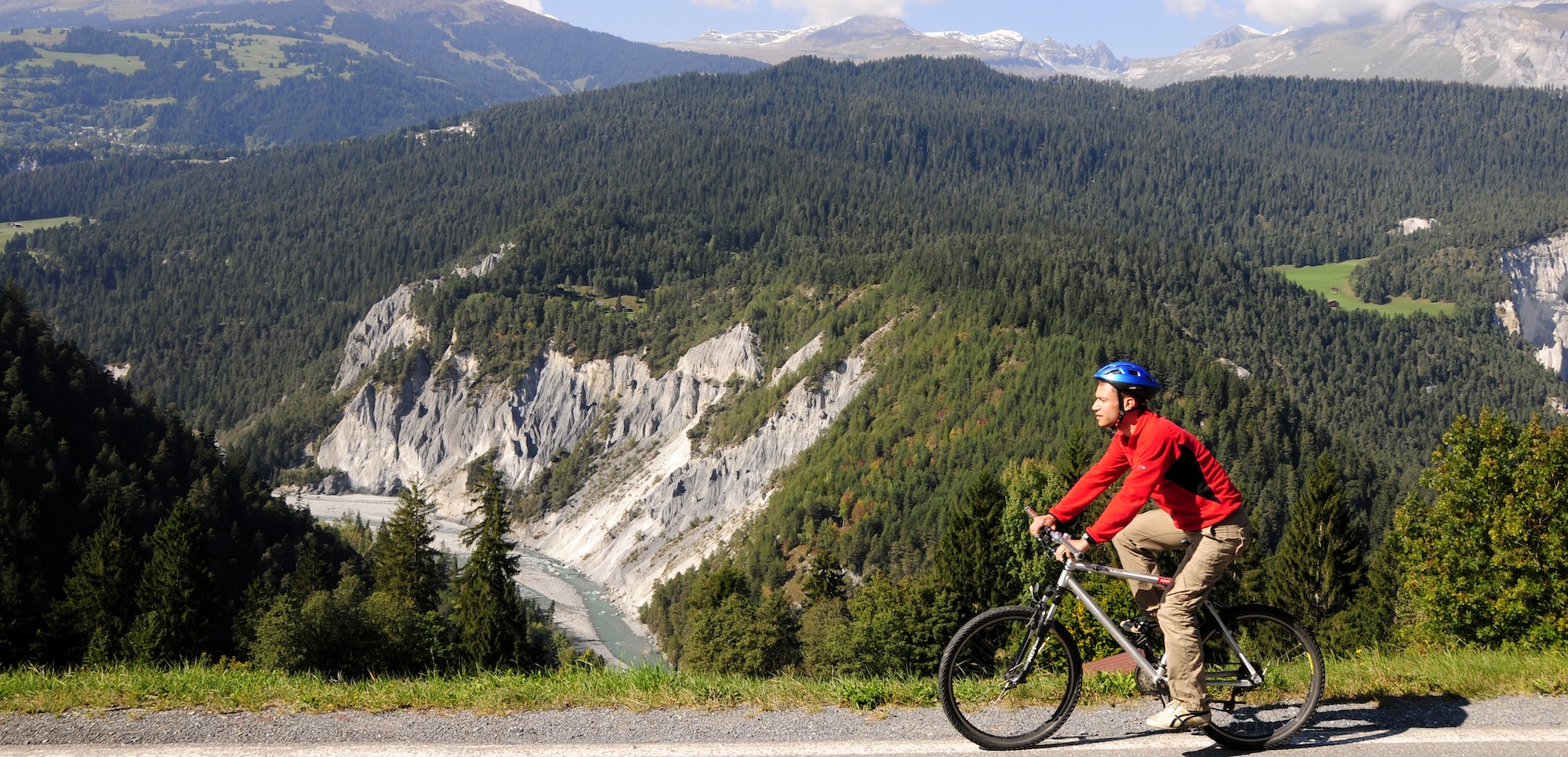
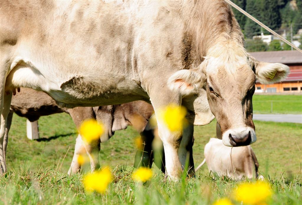
In the Swiss canton of Grisons, the Rhine Cycle Route takes you on a journey of discovery past tall, grey mountains, alpine meadows, quiet villages and the impressive Ruinaulta canyon, also known as the Swiss Grand Canyon. I’d discovered the cycling route a few years prior when travelling from Andermatt to Chur, the oldest city in Switzerland, by train. The rugged landscapes here are truly unforgettable. It’s no wonder the Glacier Express tugs along here several times a day in peak season carrying hundreds of tourists. The nature is begging to be discovered by any means possible – train, foot or bike.
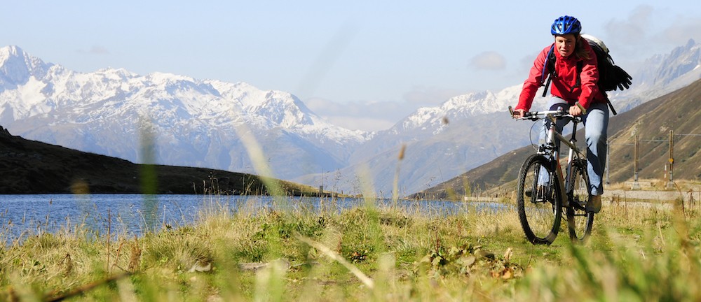
And so, last year, a friend and I decided to make the 100 km Andermatt-Chur journey by bike, reaching the source of the Rhine itself by hiking. It’s a varied but relatively easy route with some steep climbs, but the good news is that if you tire of cycling, you can just take the train! Over 20 stations dot the route with trains stopping every hour.
First leg: Andermatt – Disentis
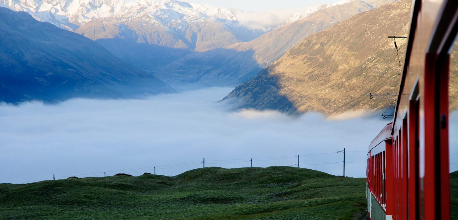
Disentis station, Saturday, 07:15. After an overnight stay in this friendly village with its beautiful Benedictine abbey, it’s time for action. With our rented mountain bikes, we board the train to Andermatt, the official starting point of the Rhine Cycle Route. The three small, red carriages of the Matterhorn Gotthardbahn only count a handful of passengers. A great start, with a beautiful late summer’s day in the mountains beckoning. The peace and quiet of the valley is in its best light, and from the train we can see the route we’re about to take. Patches of it are shrouded in mist and add a slightly daunting feel.
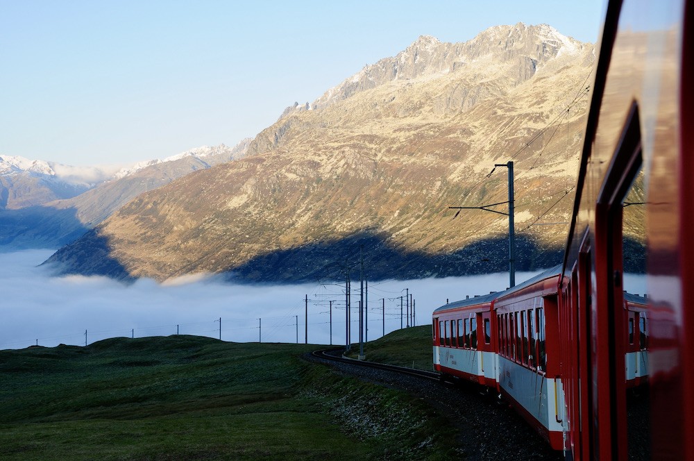
When we leave the heated train compartment in Andermatt, it feels like winter. Now it’s on! The 2044-metre-high Oberalp Pass forms the border between the Swiss cantons of Grisons in the east and Uri in the west. At 2033 metres, the station is the highest point of our Andermatt-Chur route.
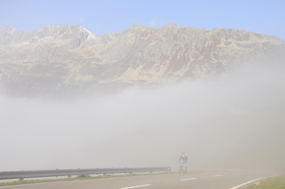
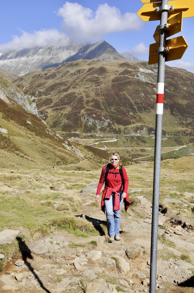
The first eleven kilometres from Andermatt to the Oberalp Pass are uphill, and are therefore the most difficult part of the cycle route. We have to climb 610 metres – pretty tough for inexperienced bikers. We’re also fighting an icy wind, so I’m suddenly glad to be wearing my extra thick fleece jumper. The road markings are at times obscured by the mist, so for a long while we have no idea how far we still have to go. Only our legs tell us that we’re climbing.
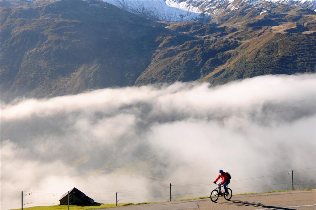
Once above the clouds, a wild, weather-beaten landscape reveals itself. The combination of summer green and autumn red create an almost surrealist spectacle. Invigorated by the view, soon the bright red lighthouse at the Oberalp Pass station comes into view.
A lighthouse in the Alps? Seems out of place, but it’s a replica of a lighthouse that once stood in Hook of Holland at the mouth of the Rhine. This forms a symbolic link with the other end of the Rhine in the Netherlands. It’s also the highest lighthouse in the world and the only one in the Alps. In addition to the lighthouse, you can also find an information centre here about the source of the Rhine.
Hiking to the source
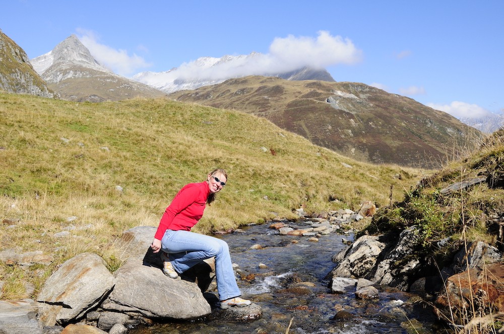
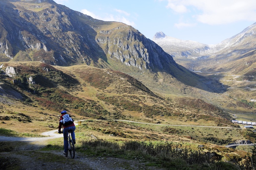
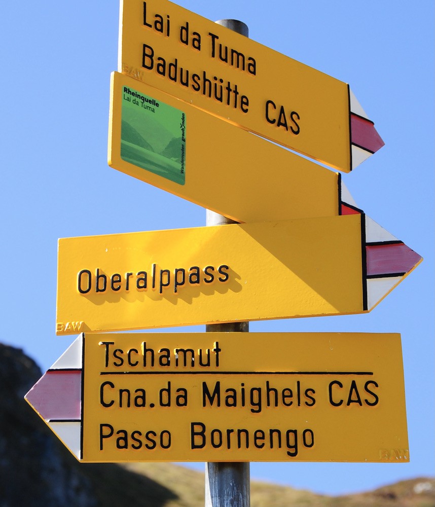
Lake Toma, the official source of the Rhine, can only be reached on foot. A narrow path leads from the Oberalp Pass to the lake at an altitude of 2345 m, taking around two hours. We cycle the first bit, but then leave our bikes unlocked in the mountains.
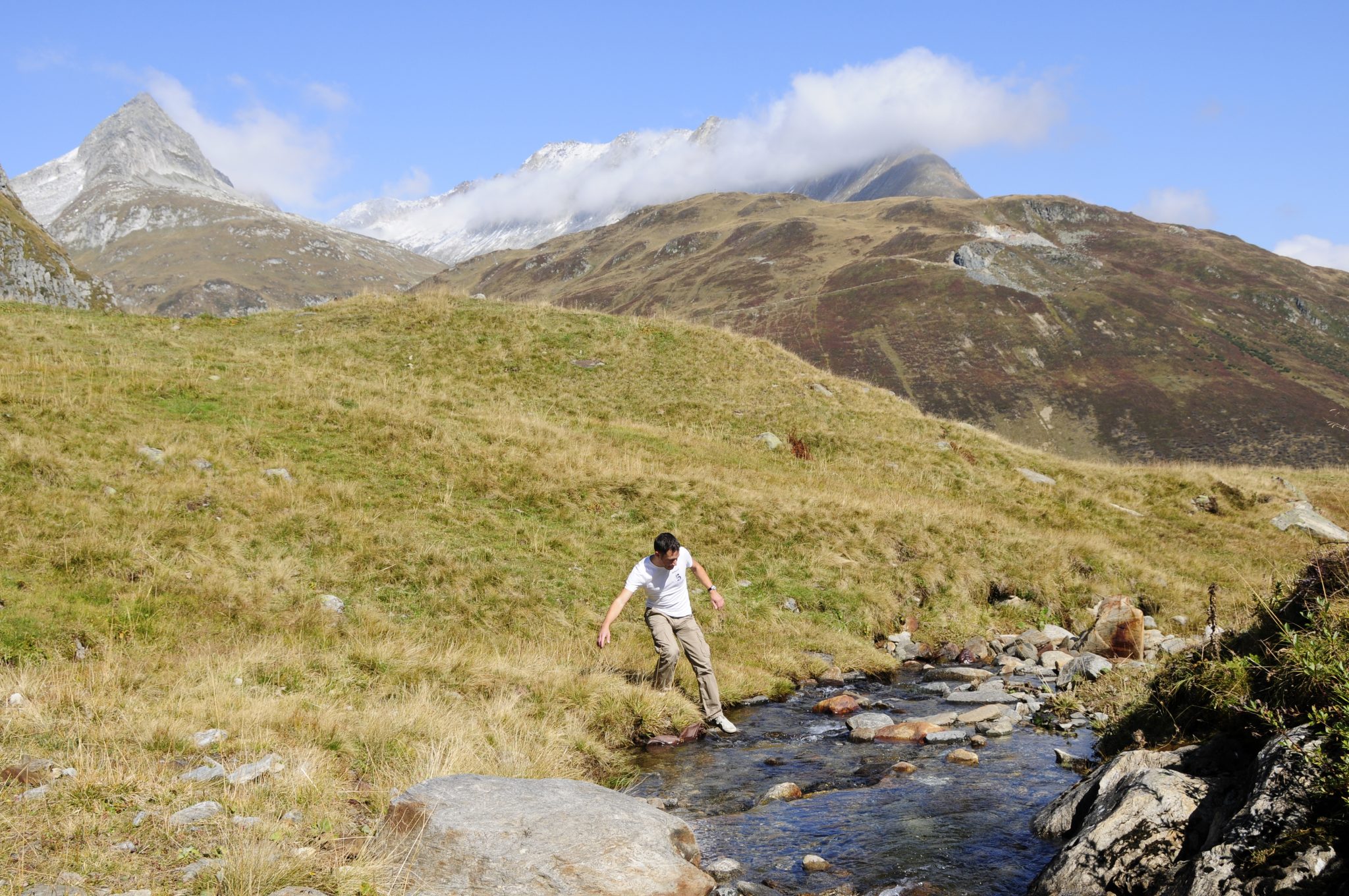
The many streams that cross our path form the Vorderrhein, the longest of the two source rivers of the Rhine. It’s odd to think that this same water flows into the North Sea at Rotterdam some 1,230 km away. Here, the water is so pure that we can actually drink it!
When we arrive at the small dark-blue lake surrounded by grey, snow-covered mountains, we’re immediately struck by the magical silence. Various streams of water quietly ripple down the valley and together form the Rein da Tuma, or Vorderrhein. Later on our route it merges with the Hinterrhein and flows on as the Rhine. But by then, it’s already tens of metres wide. So we jump over the Rhine here and fill our bottles with pure Rhine water before starting the walk back.
Hiking to Lake Toma 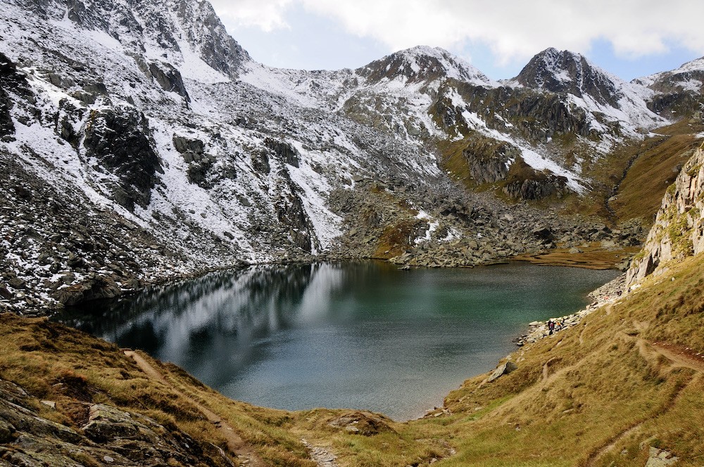
Lake Toma, the official source 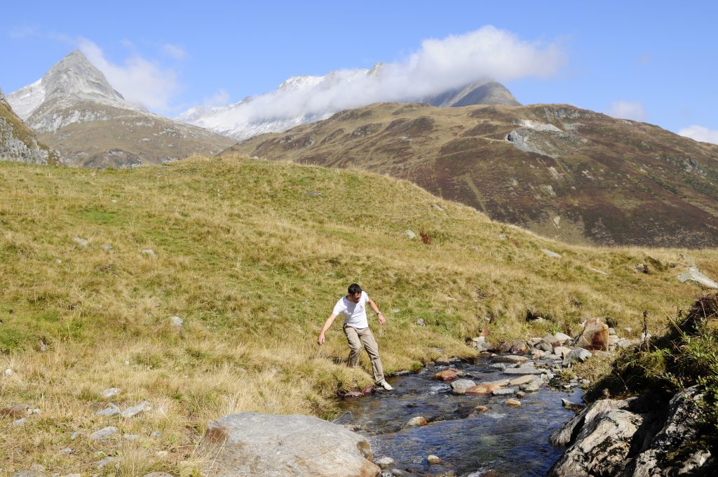
The Vorderrhein 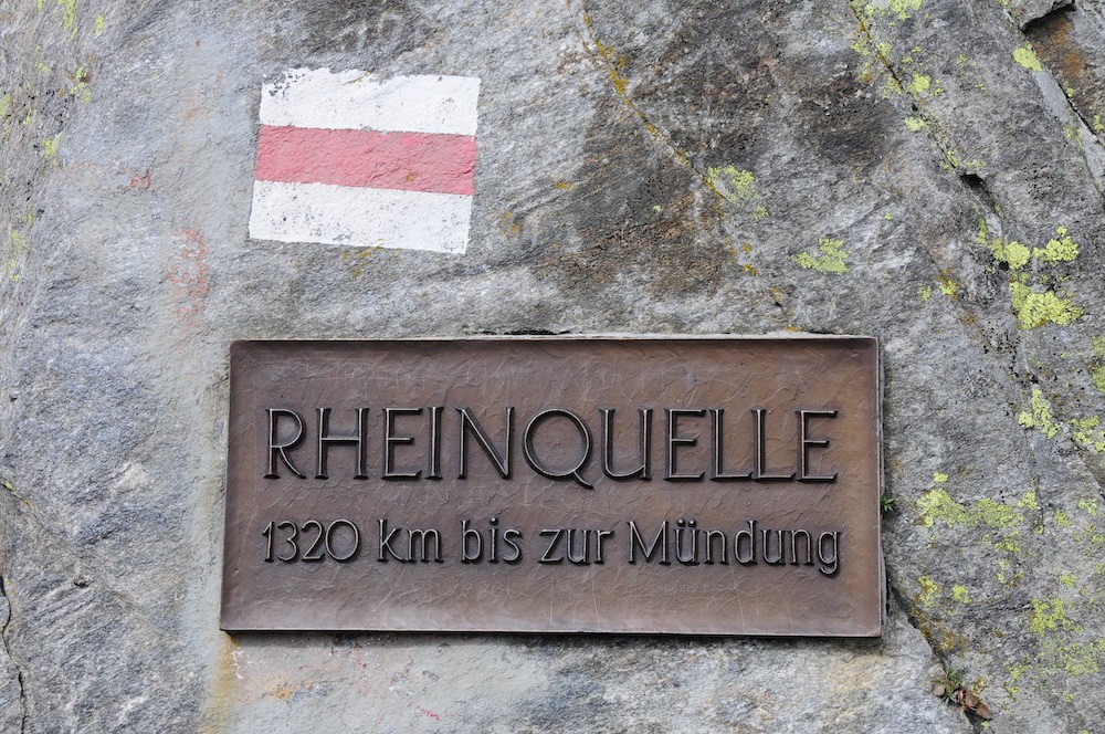
Plaque at Lake Toma 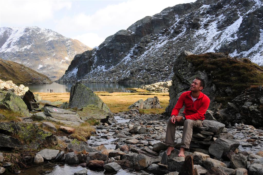
Lake Toma with the Vorderrhein
Back on our bikes, the drab grey soon changes to peaceful green. Our thick tyres whizz down the asphalt at lightning speed. After 20 km, the centuries-old baroque monastery of Disentis comes into view. The Oberalp Pass stage is over!
Second leg: Disentis – Chur
We get up early because we have around 65 km in front of us today. Soon after leaving Disentis, we dive into the woods. The route leaves the main road and continues along forest paths, gravel roads and car-free country lanes. Shortly before Cavardiras we have to dig deep again, our legs still tired from yesterday’s hard climb.
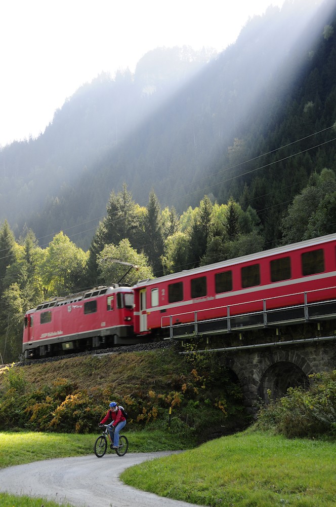
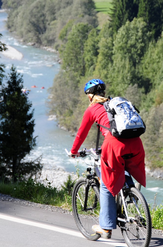
Beyond Cavardiras, the road winds mainly along the banks of the Vorderrhein through forests and rural areas. Despite the regular climbs and descents, our cycle tour through this quiet region is a real delight. The cycling itself is is varied and exciting, and the Rhine flows quietly while the trains of the Rhaetian Railway chug along the beautiful landscape.
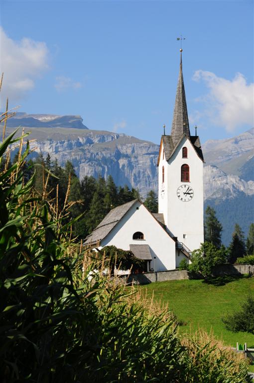
Fortunately for our legs, we take a break in Ilanz, the “first city on the Rhine”. Here we’re kindly received for lunch by Mrs Casutt, owner of the restaurant of the same name. “You can put your bicycles in the shed. But don’t be alarmed,” she says with a serious look. “There’s a deer in the garage. My husband’s prized catch.” She goes on to explain that some 6,000 hunters have spent three weeks hunting intensively in the canton. “This is the last weekend of the traditional hunting season. The game can breathe easy again after tomorrow.”
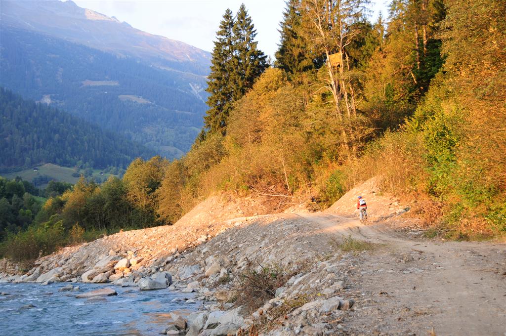
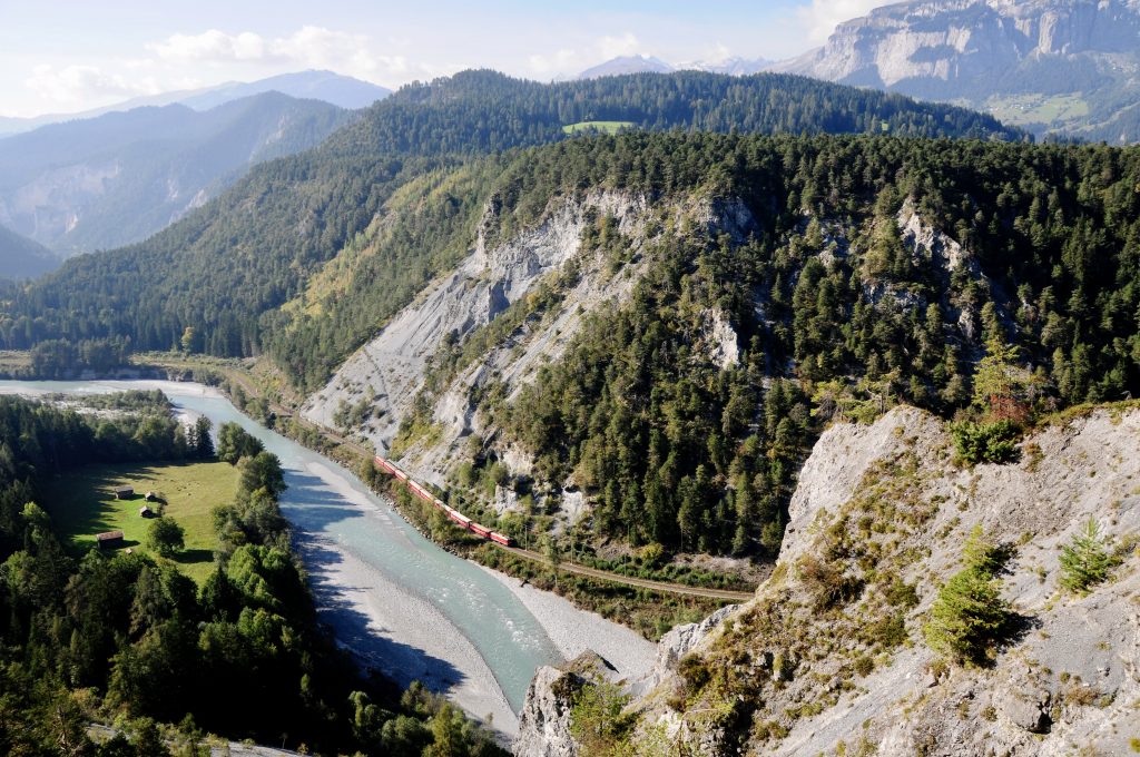
After lunch, we still have more than 30 km to go… but our legs are motivated when we think of the next highlight on this route full of superlatives: the Ruinaulta or Rhine Canyon. Located between Ilanz and Reichenau, it’s perhaps the most impressive gorge in Switzerland – hence the nickname ‘Swiss Grand Canyon’. Bizarre rock formations of up to 400 m in height create a mystical atmosphere in the right light. It’s not without reason that the Ruinaulta is a UNESCO World Heritage Site.
On postcards in Ilanz, we see beautiful sunsets that give the rocks an illustrious appearance. Unfortunately, we don’t get to see the gorge in this way, but from our bicycles, we have a wonderful view of the landscape the river has created over thousands of years. We see canoeists braving the fast-flowing water. Sunbeams fall like a spotlight on the little red train that skims the steep rock faces. A small, sun-drenched paradise.
In Reichenau we see where the Vorderrhein and Hinterrhein merge to form the Rhine. Before we realise it, darkness falls. Tiredness sets in quickly. Fortunately, the Rhaetian Railway has stops along the entire route so we gratefully take advantage of this for the last stretch from Reichenau to Chur.
A train meanders through the Rhine gorge 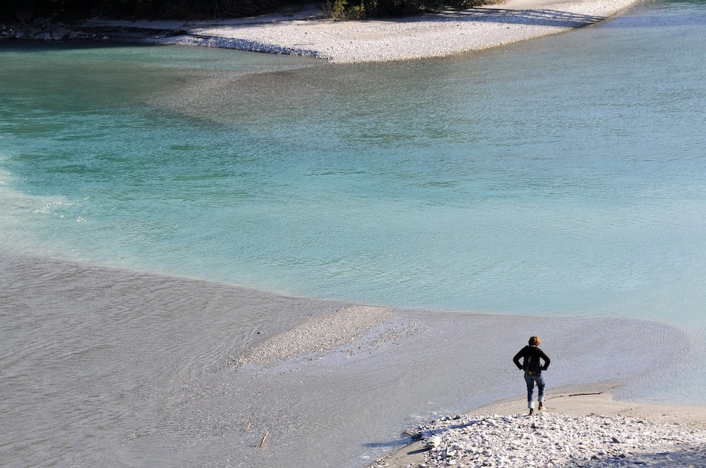
The Vorderrhein and Hinterrhein rivers merge in Reichenau 
View over the Rhine gorge